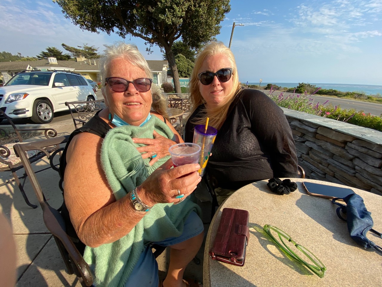
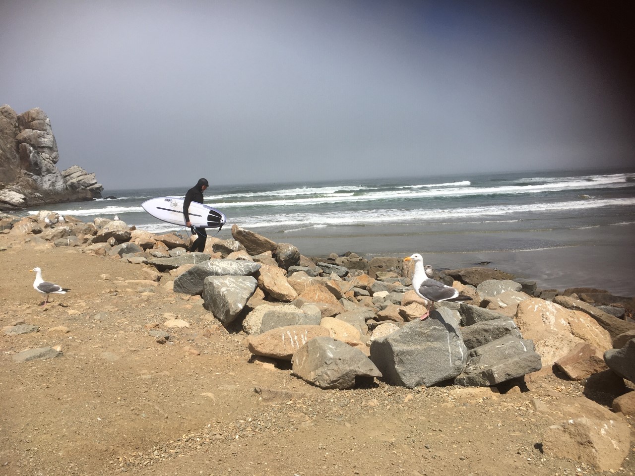
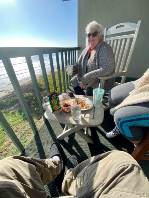
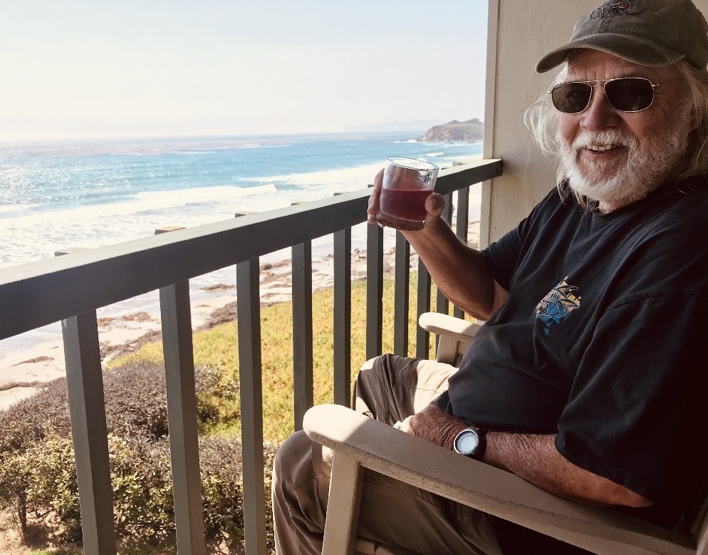
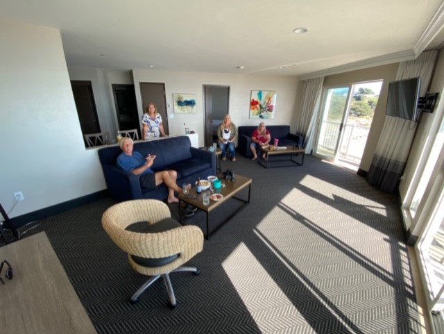
After lunch and loading up on Poke at Giovanni’s and a stop at the Avila Farmers Market, we drove through Cambria, grabbed an ice cream cone, and checked into our room, just feet from the beach.
THE FIRESIDE INN


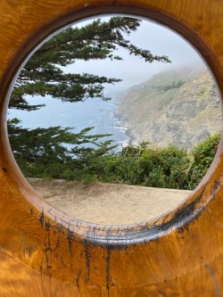
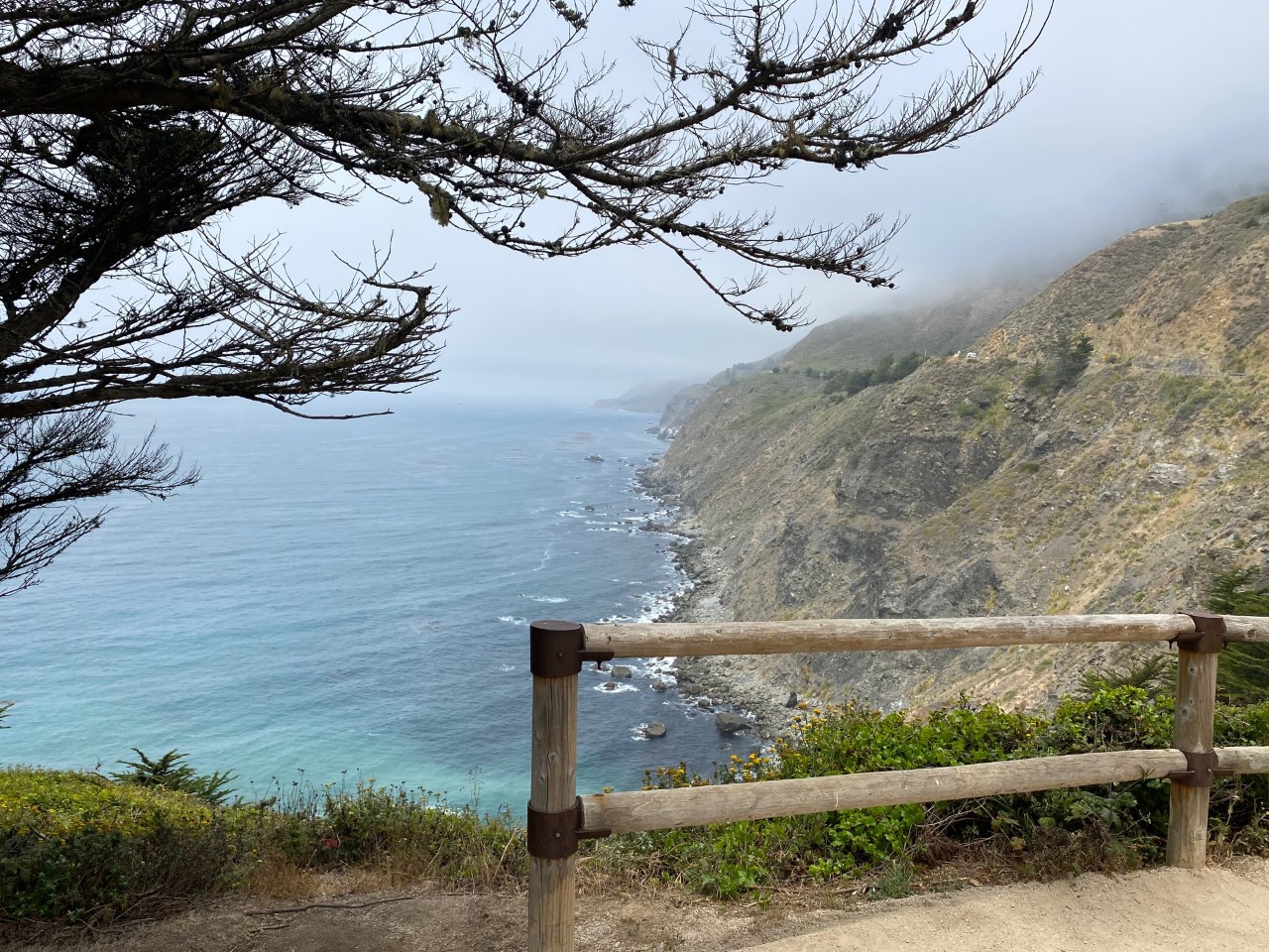
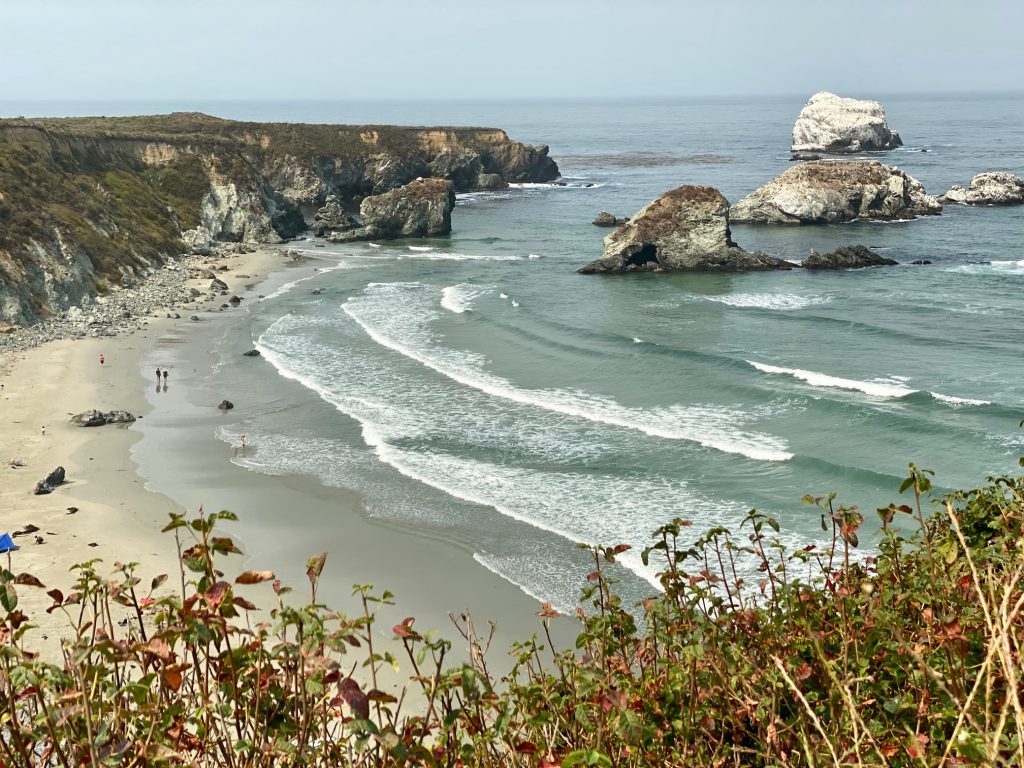
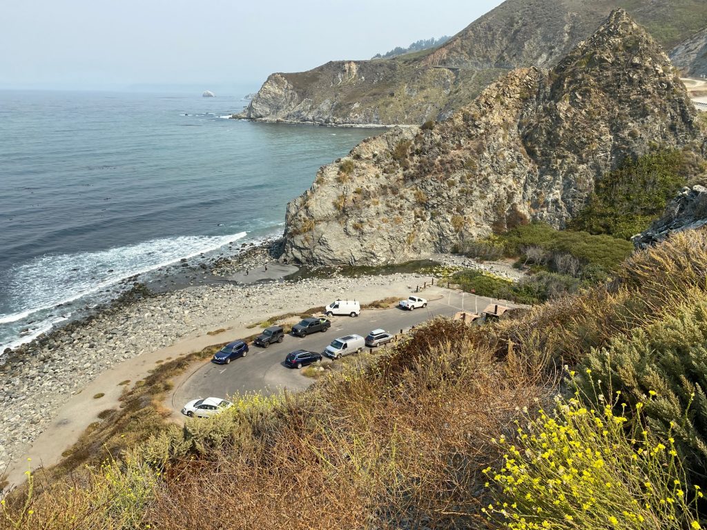
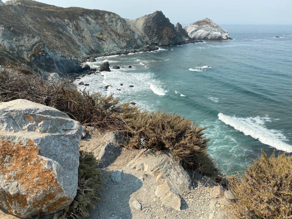
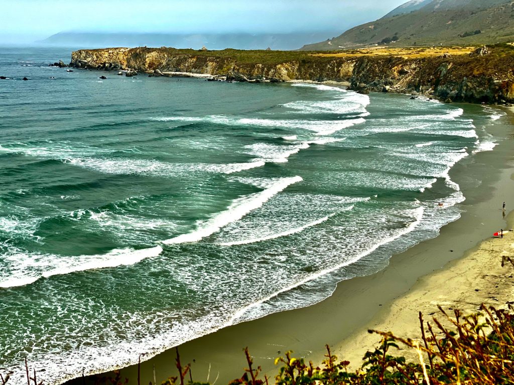
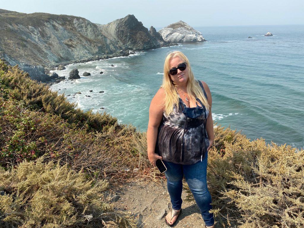
There is no more lovely a coast than BIG SUR. A windy adventurous road lined with unparalleled beauty. Its hard to keep your eyes on the road!
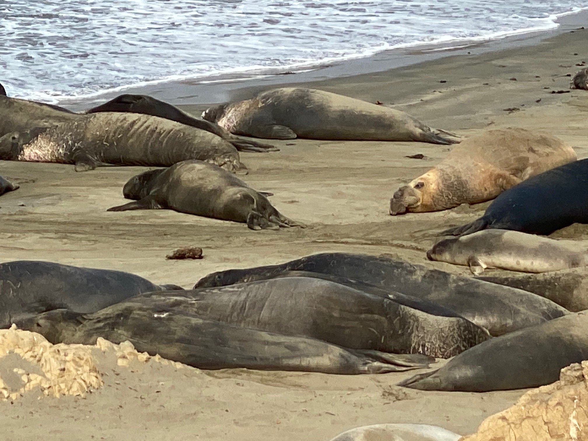
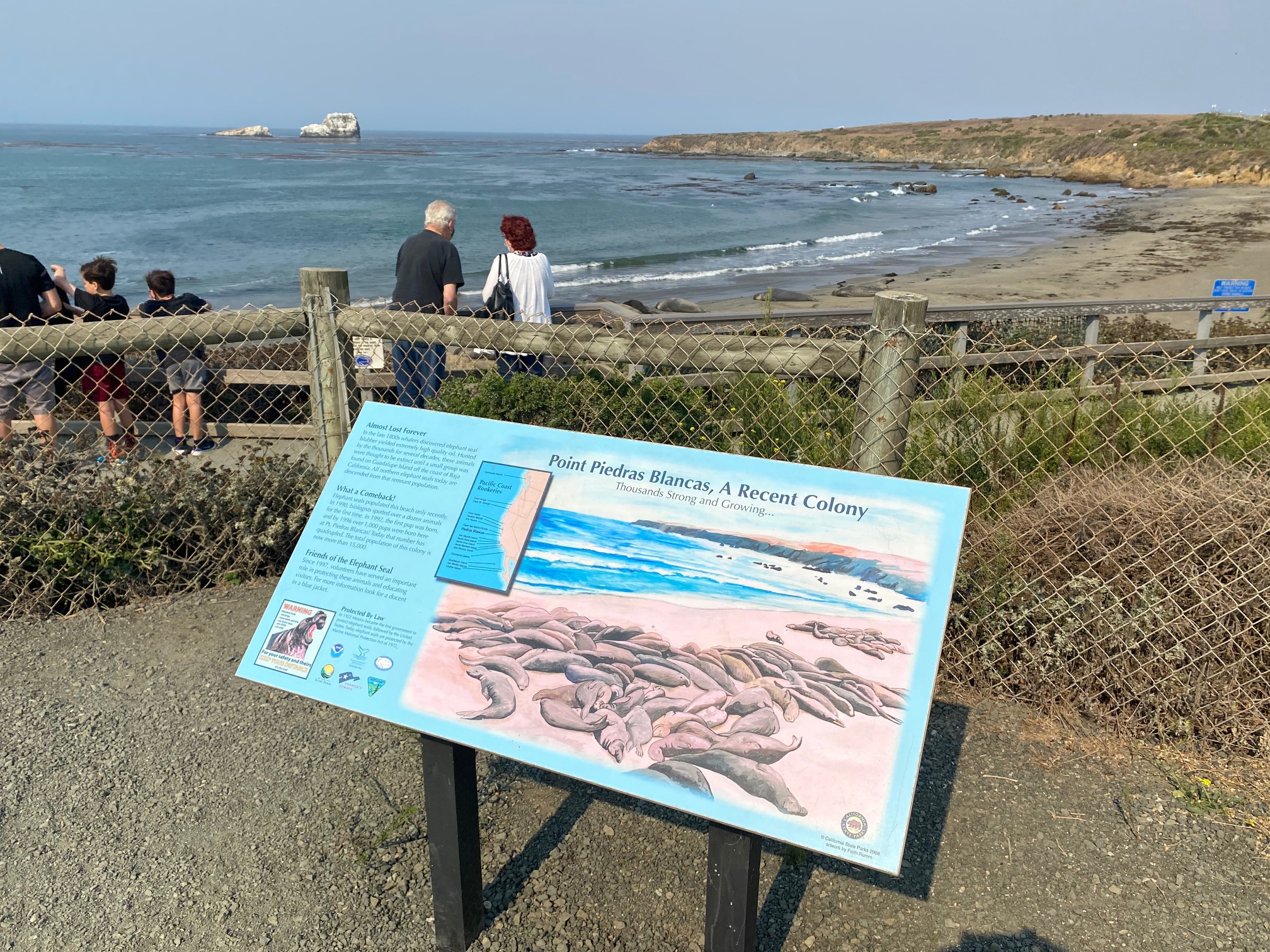
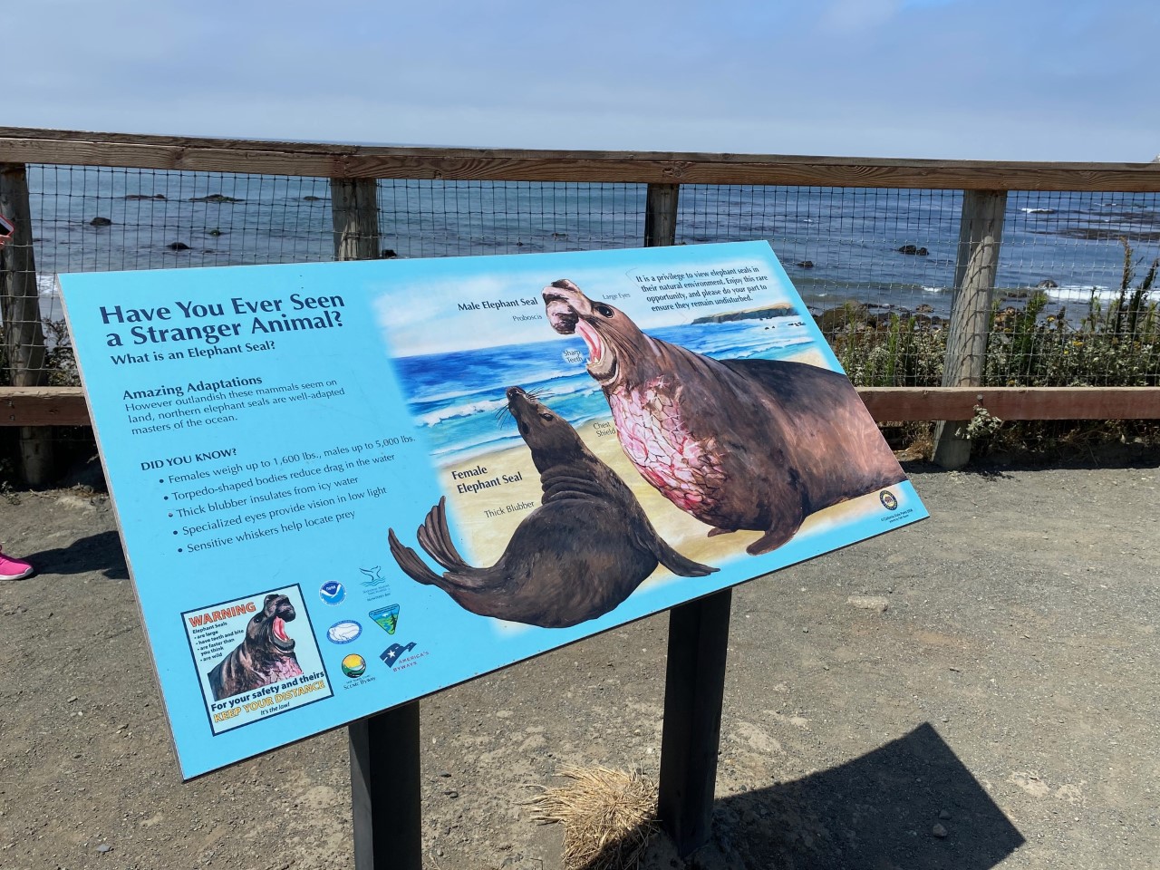
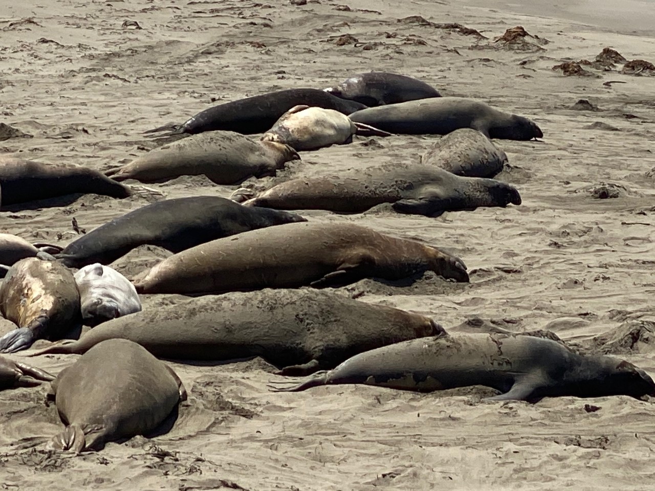
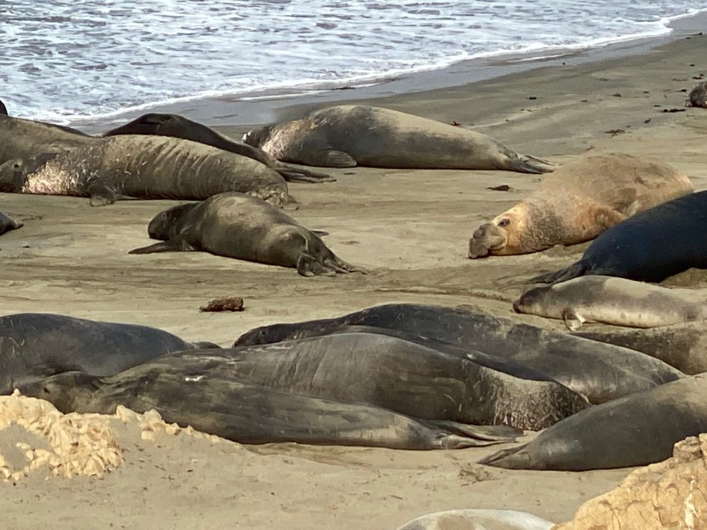
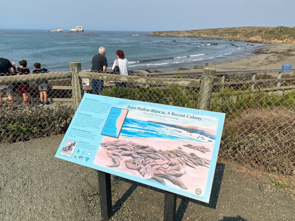
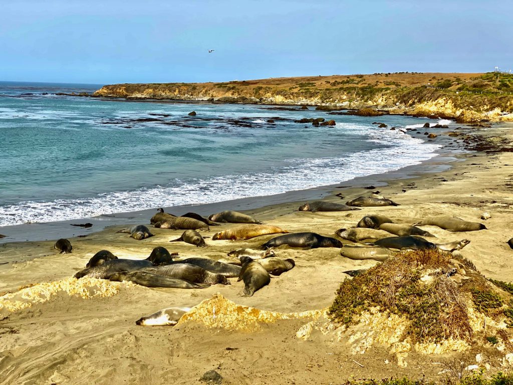
ALWAYS A STOP TO SEE THE SEA ELEPHANTS
AND MORE SCENIC BEAUTY
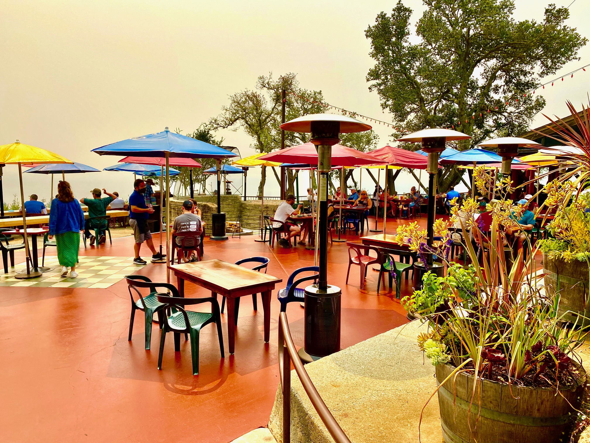
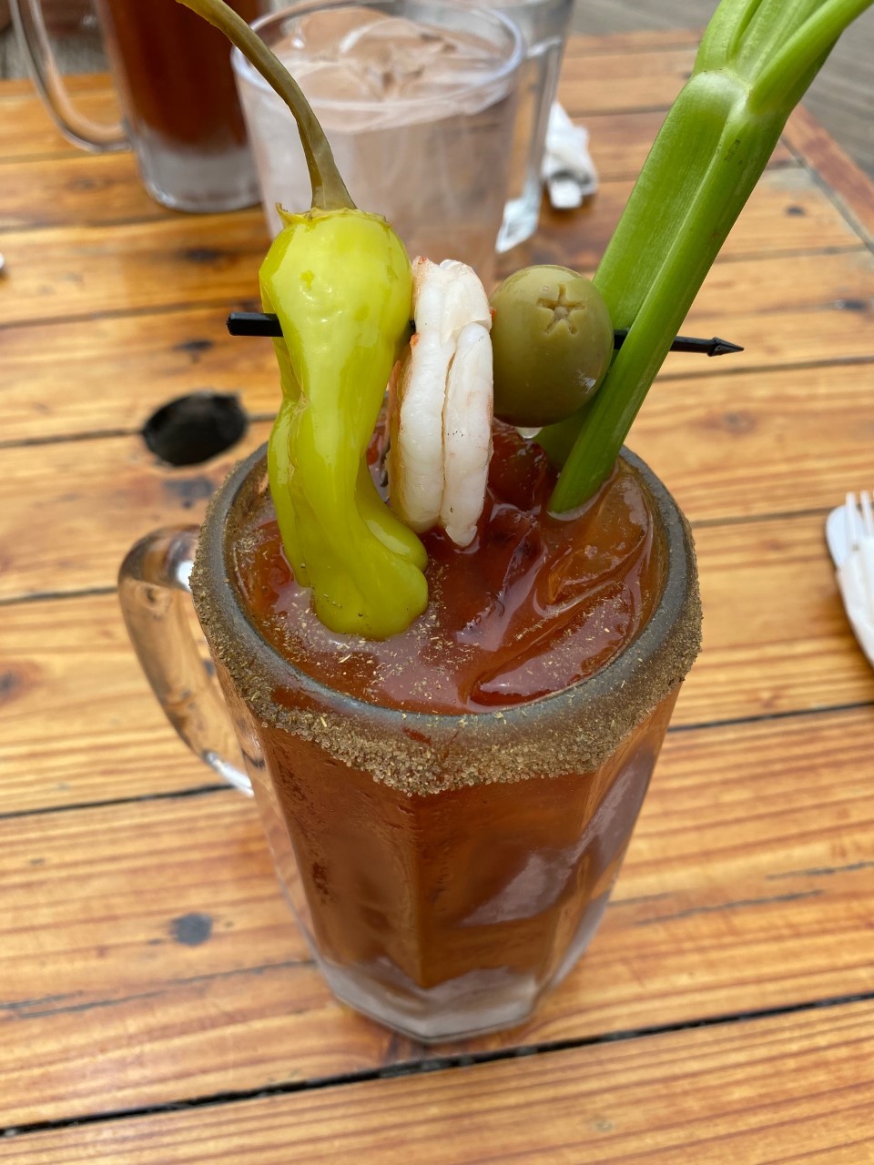
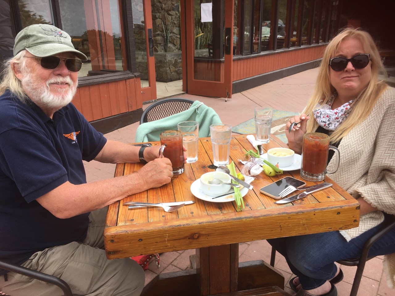
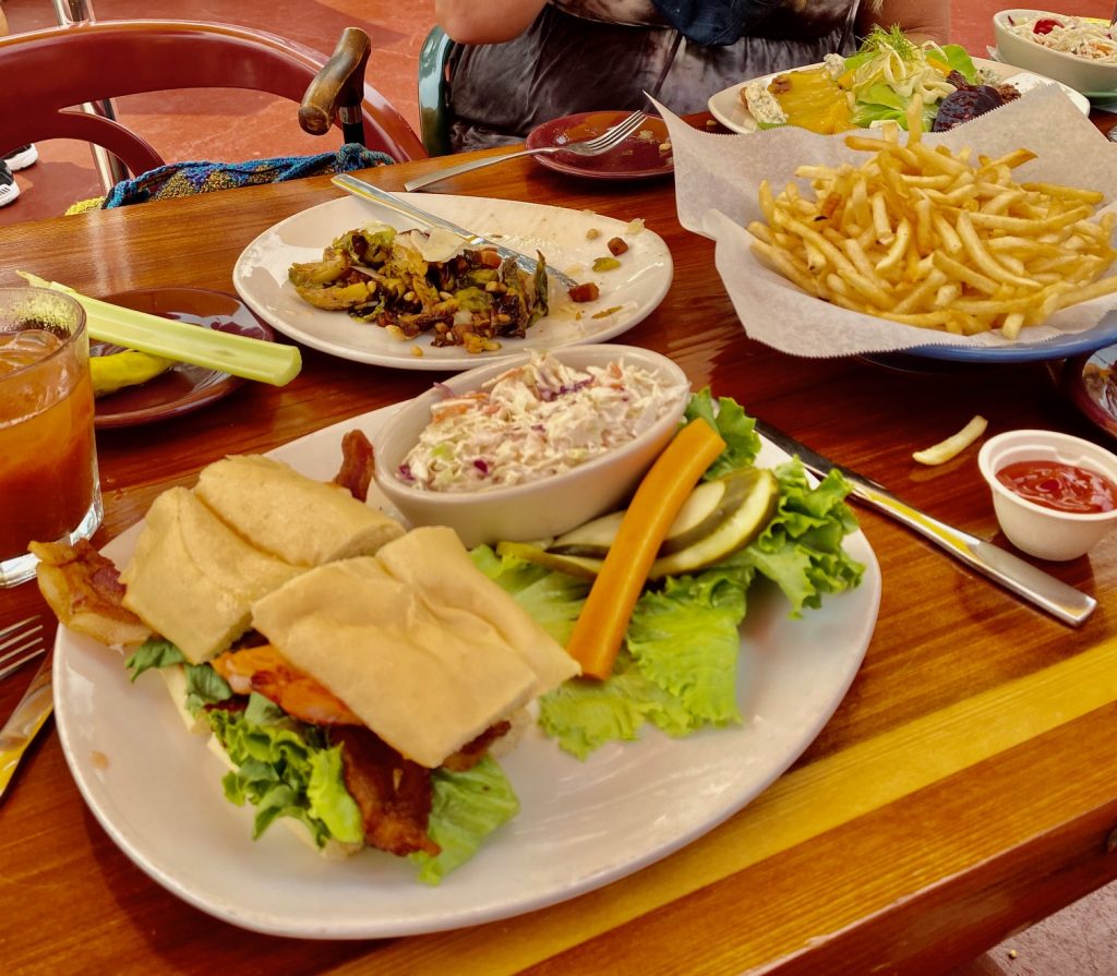
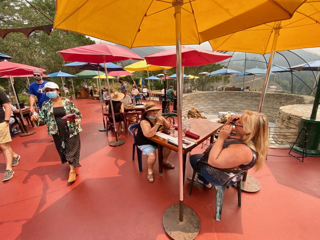
A MOST ROMANTIC STOP IS THE NEPENTHE GIFT SHOP AND RESTAURANT.
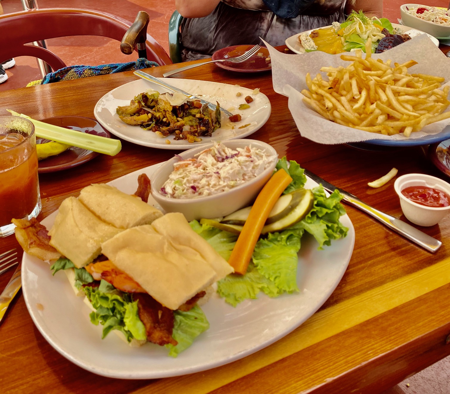
May 17, 2016 · Elizabeth Taylor and Richard Burton frequented the restaurant while shooting their 1965 film The Sandpiper in Big Sur; the film includes a folk dancing scene. It is a must stop restaurant and gift shop on the Big Sur Coast. We had a nice lunch and I ordered my favorite beet salad. Alan stuck with the shrimp blt, while Holiday and I shared roasted Brussel sprouts.


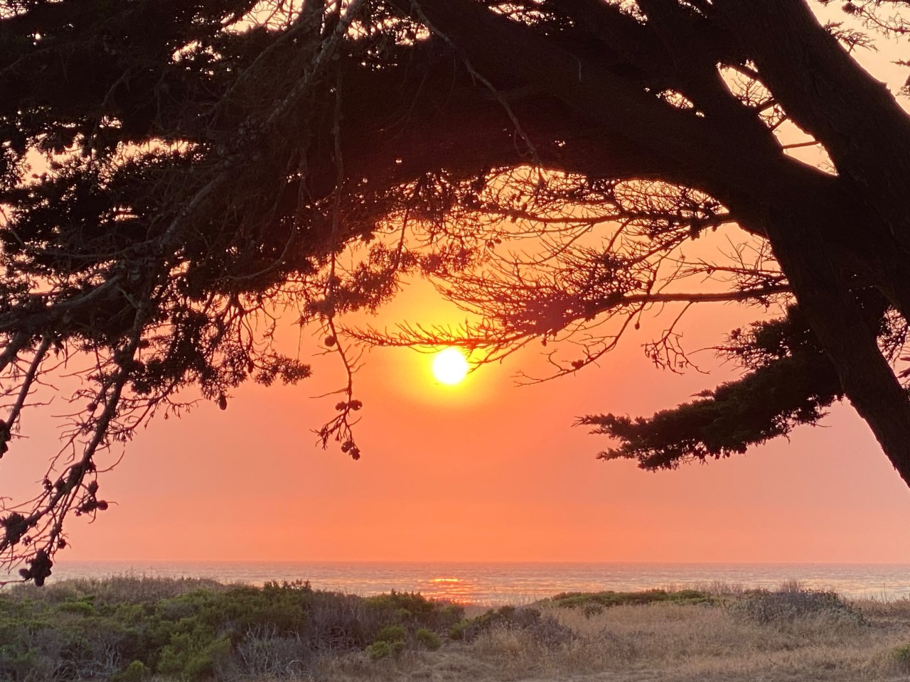
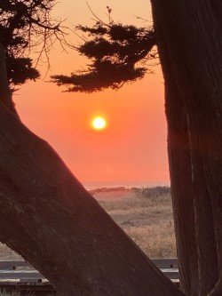
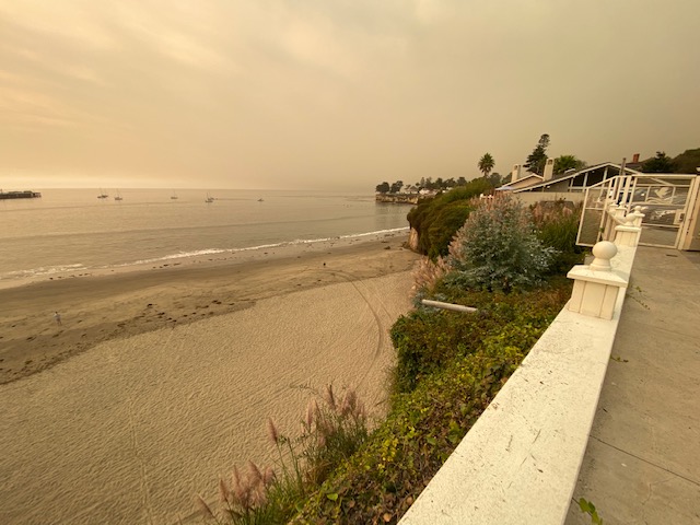
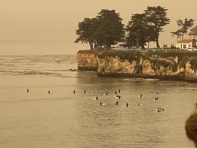
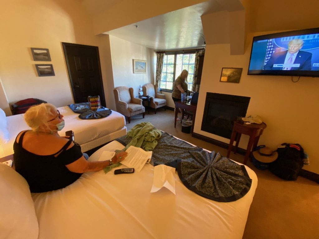
AND THEN WE TRAVELED UP THE COAST TO SANTA CRUZ WHERE WE ENJOYED THE SEA & SAND HOTEL. DUE TO MYRIAD LOCAL FIRES, THE SKIES WERE GRAY AND AIR FULL OF AMBIENT SMOKE.

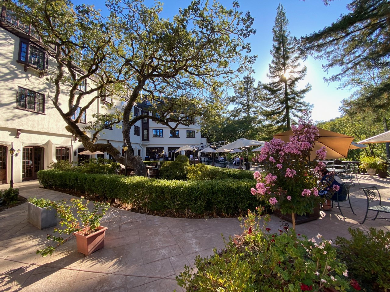
THE CHARMING AND HISTORIC BENBOW INN, GARBERVILLE

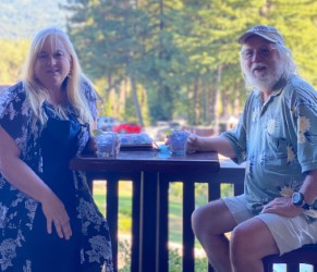
An evening cocktail hour with fois gras. We loved it but vowed to not do it again.
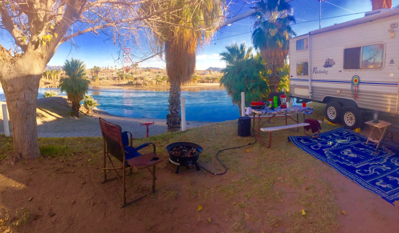
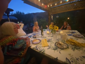
 Dinner on the back patio alongside the river.
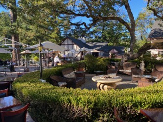
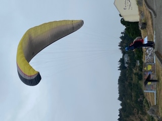
On the Oregon coast we watched a hang glider attempt a flight.
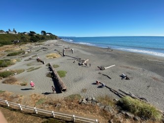
BROOKINGS, OREGON: Brookings is a city in Curry County, Oregon. It was named after John E. Brookings, president of the Brookings Lumber and Box Company, which founded the city in 1908.
It is a town lined with hotels and restaurants right on the coast with dynamic views and walkable beaches. We opted for the Beachfront Hotel and were not disappointed. Admittedly I didn’t walk the beach, but felt like it when on our balcony. We had a nice room, but my sister and her husband showed up with a suite!


Leaving the coast we took the inland road to Happy Camp.
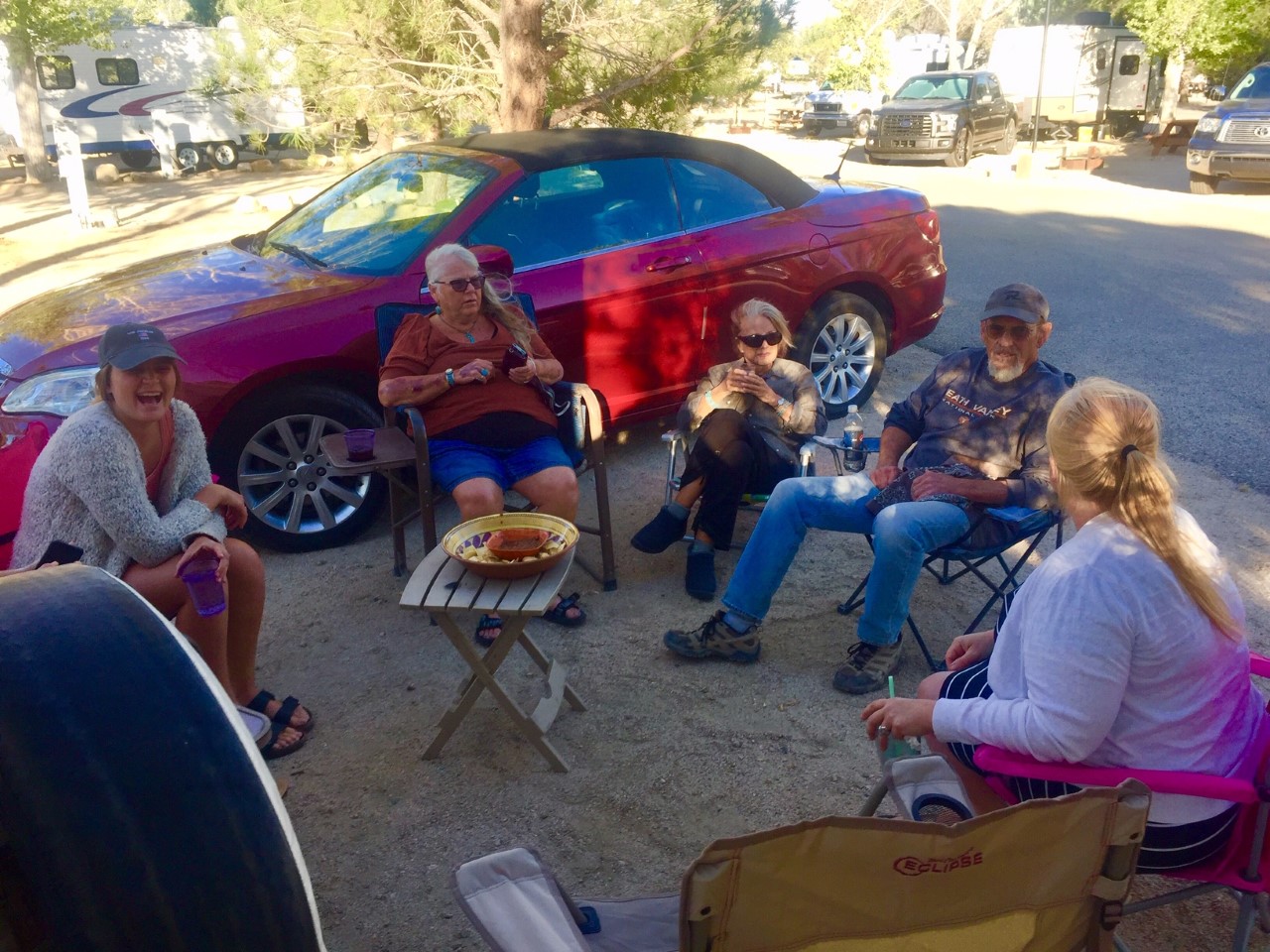
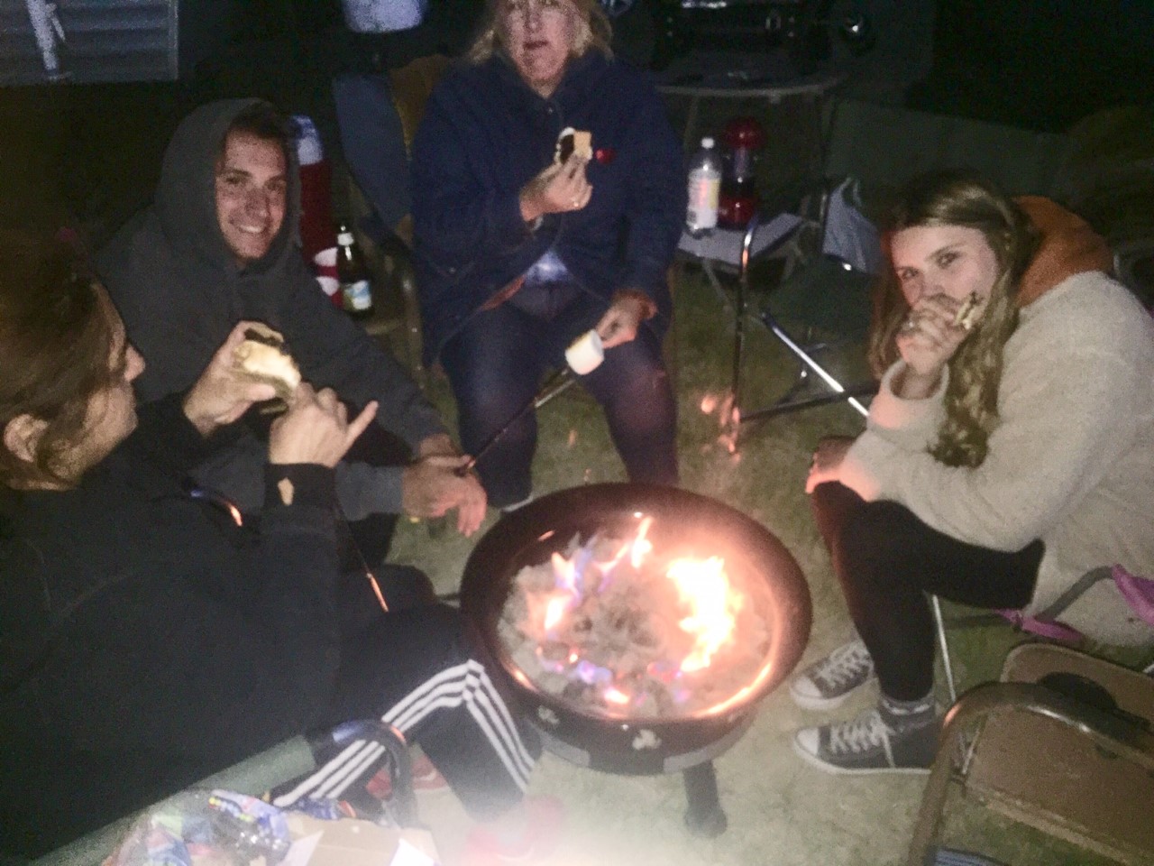
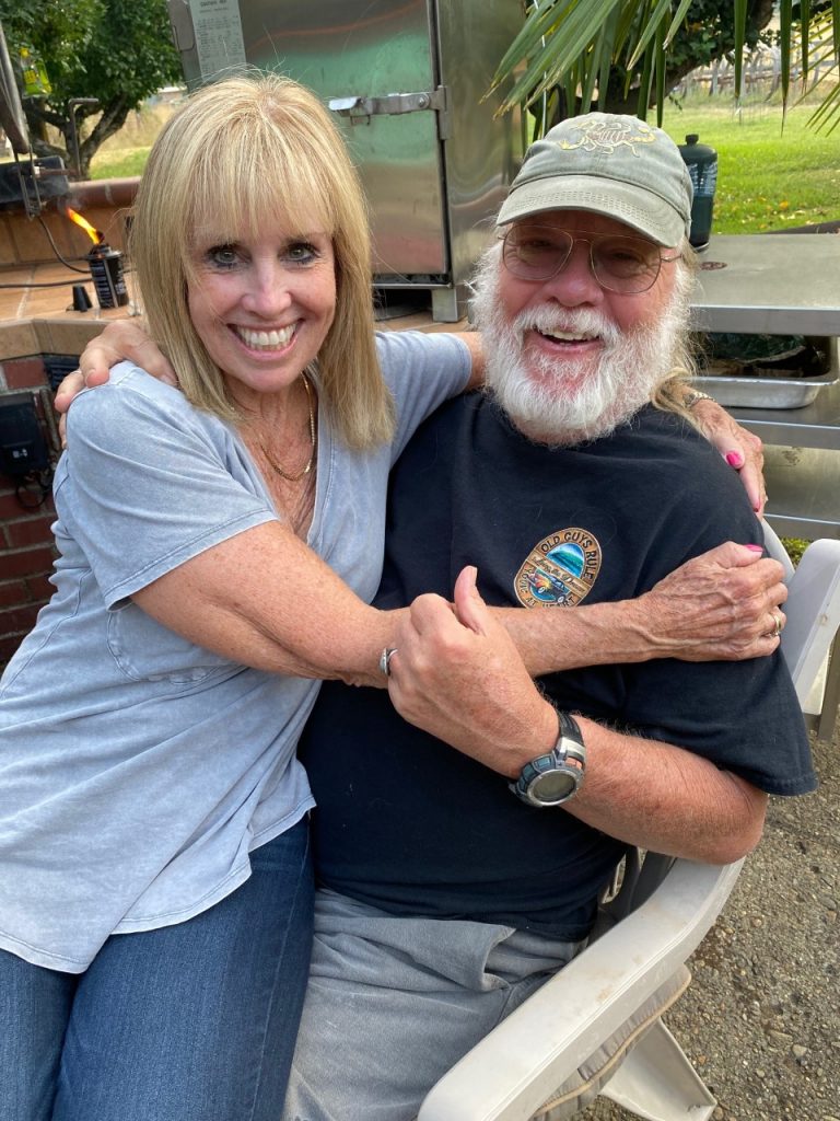
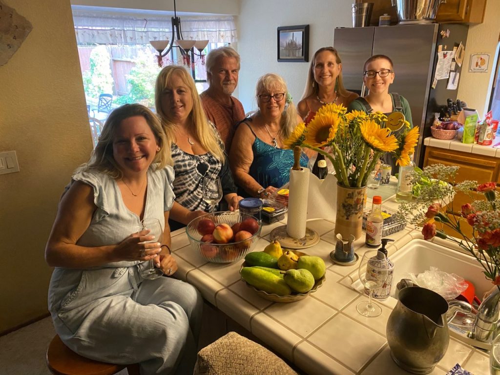
Always fun to reach Happy Camp and look forward to several days of good eating, happy hours, and visiting with family.
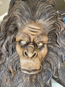
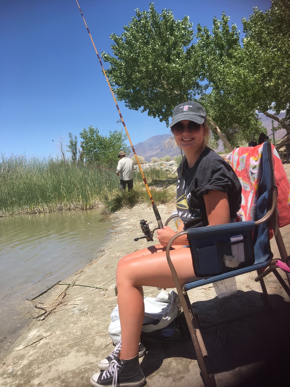
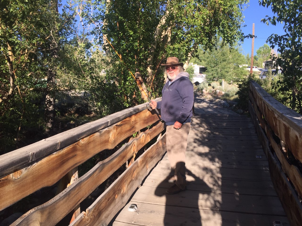
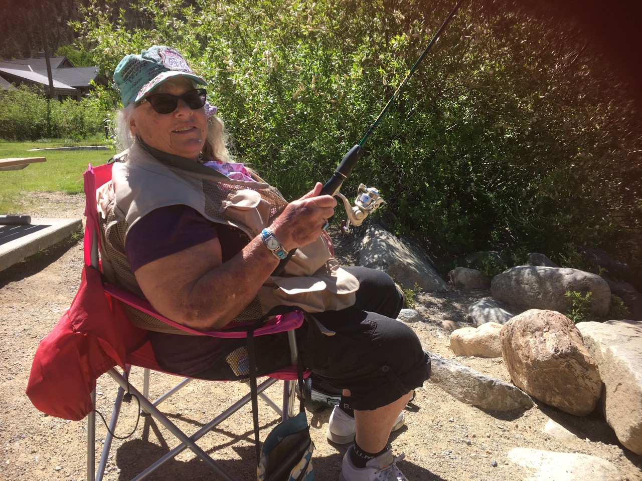
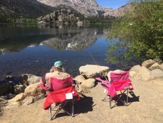
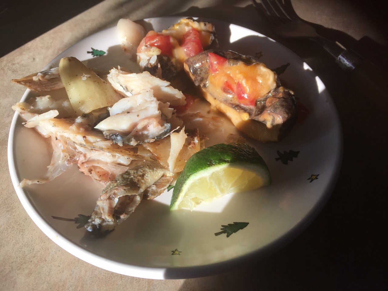
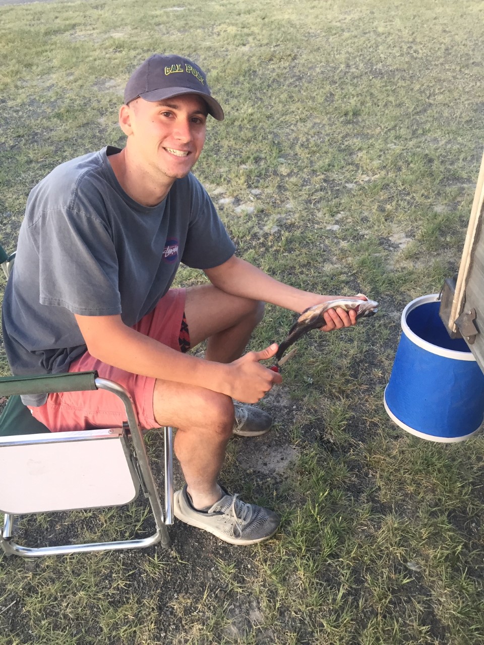
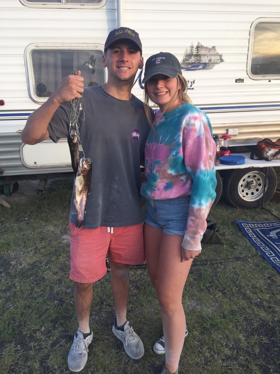
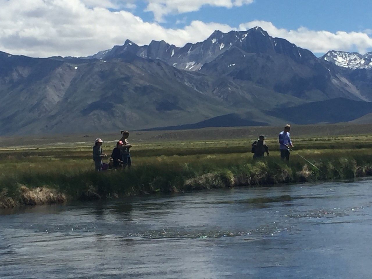
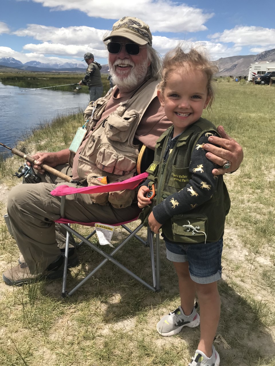
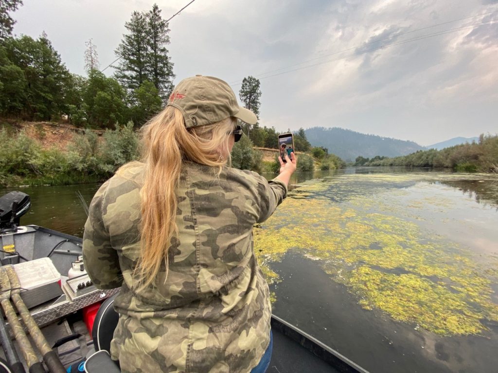
ARRIVING AT HAPPY CAMP ON THE KLAMATH RIVER, WE WERE GREETED BY BIGFOOT. THEN IT WAS FISHING FOR STEELHEAD:

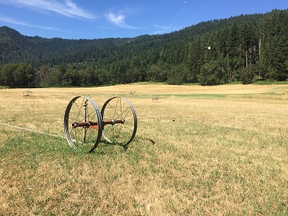
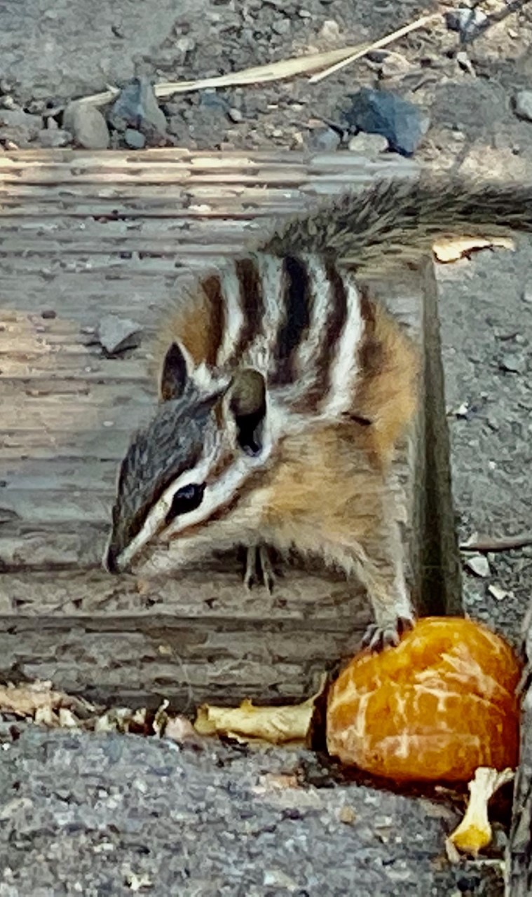
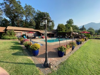
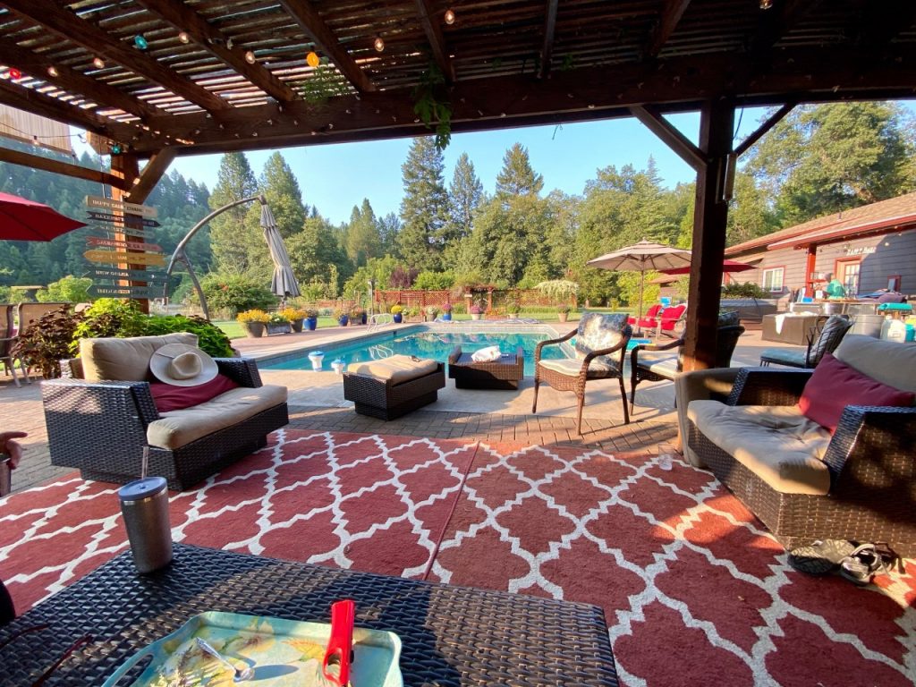
BACK AT THE CHAMBERS’ RANCH WE ENJOYED THE POOL, FIELD AND OLD GROWTH FOREST,
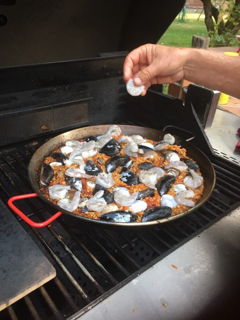
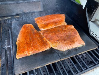
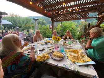
THE DAY’S HIGHLIGHT IS HAPPY HOURS FOLLOWED BY DINNER. FIRST NIGHT CASEY AND GEORGE MADE PAELLA ON THE BBQ.
OK, WE SIT DOWN FOR DINNER. GEORGE RUNS OVER TO THE GARDEN,PICKS EARS OF CORN, SHUCKS THEM ON THE WAY BACK THROWING THE SHUCKINGS TO THE ANXIOUS AWAITING COWS. AT THE BBQ HE THROWS THEM IN THE BOILING WATER AND THEN SERVES THE WITH DINNER. ALAN ATE 3 AT ONE SITTING.
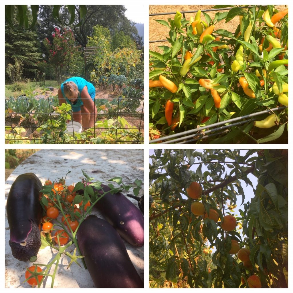
Most everything starts in the garden.
FROM HAPPY CAMP AND GARRETTS 2,3 AND 6 TO THE HOME OF GARRETT 7 – GOLD RIVER.

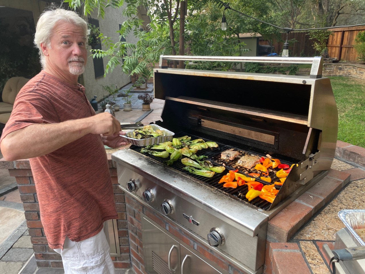
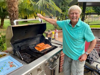
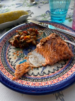
KIRBY’S TURN TO BBQ
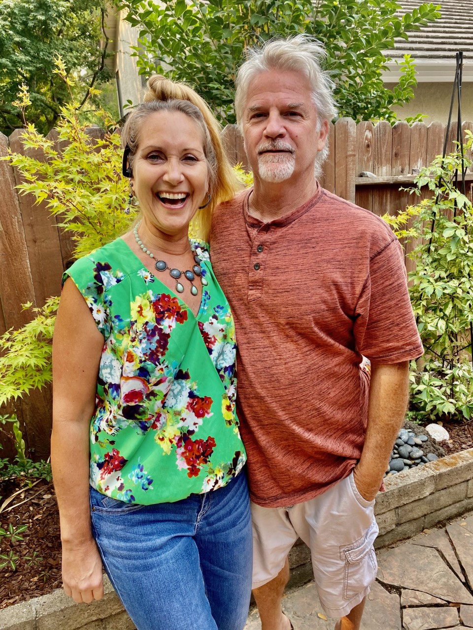
A family evening Kirby, Cindy, Kennedy Cassidy and a special appearance by Brittany.
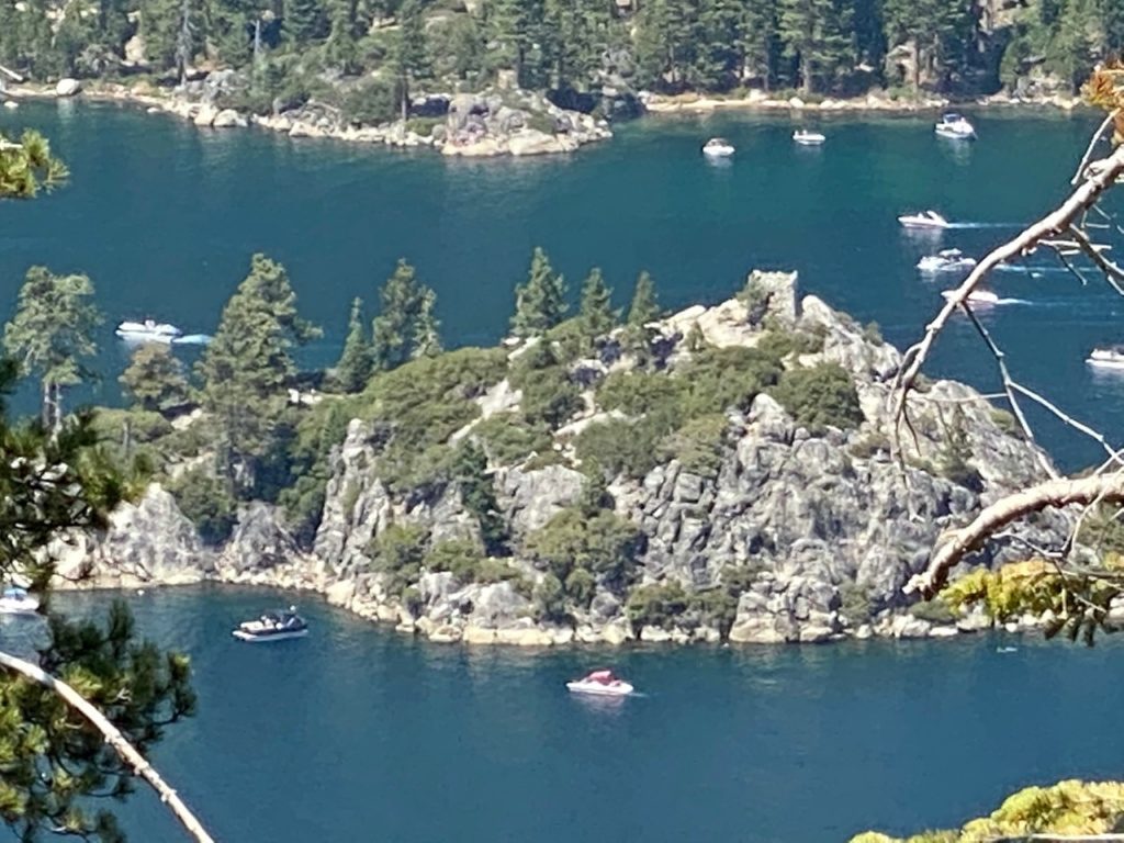
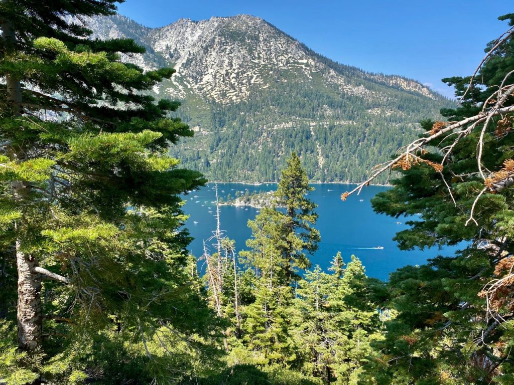
SAID ADIOS AND HEADED FOR TAHOE.
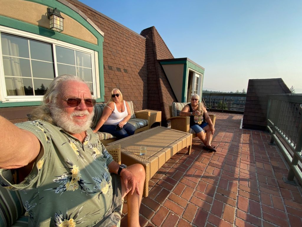
A NIGHT AT HARRAHS.
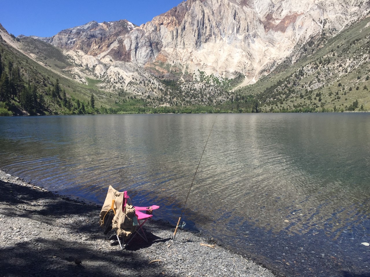
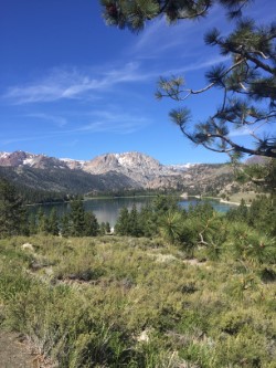
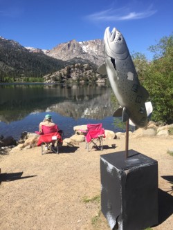
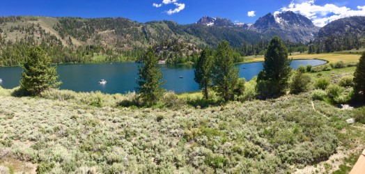
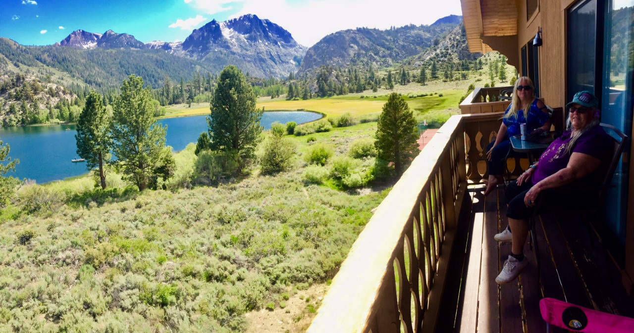
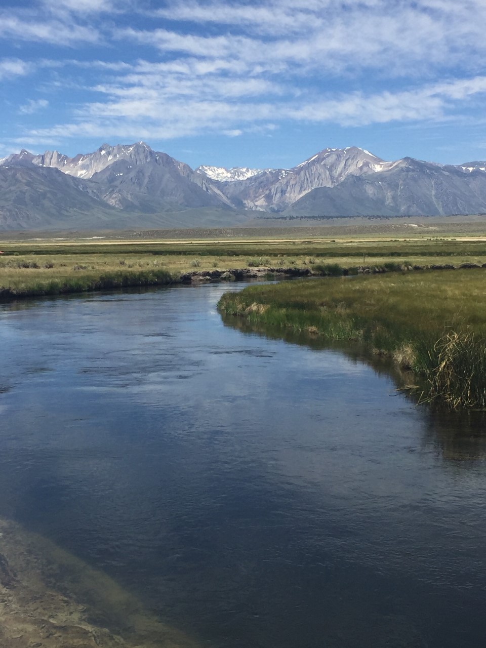
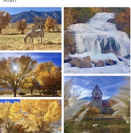
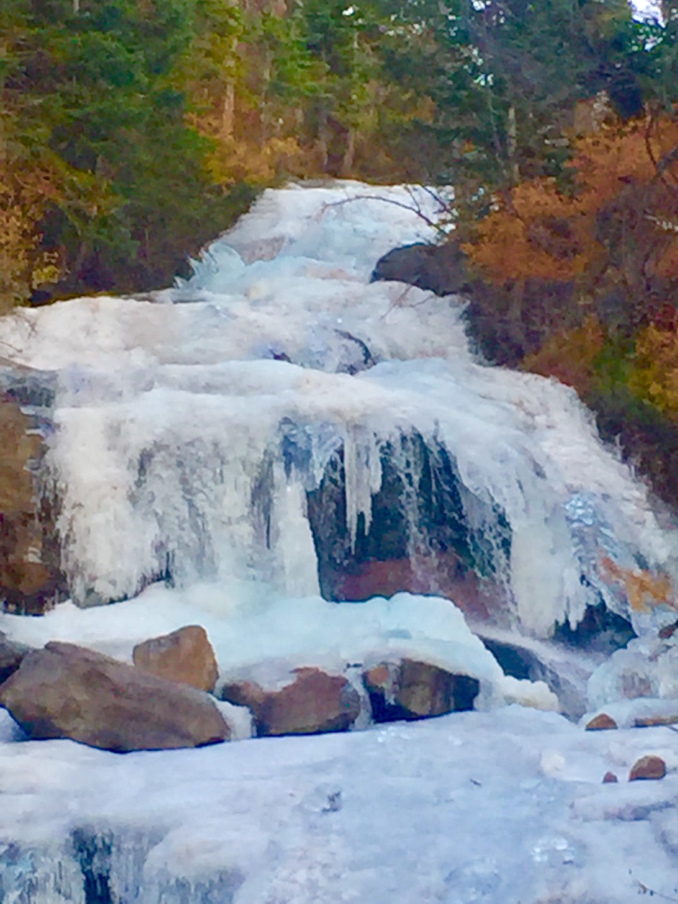
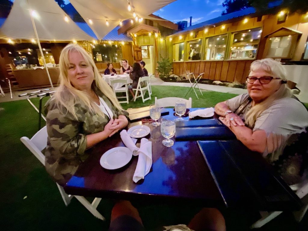
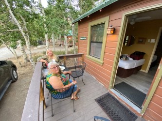
One excellent stop on the way home – CONVICT LAKE! Our cabin – Black Spot – was delightful and adding to the experience, we had dinner at the Convict Lake Restaurant.
 </a
</a
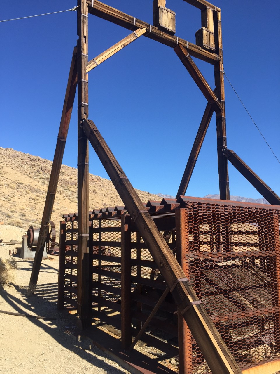

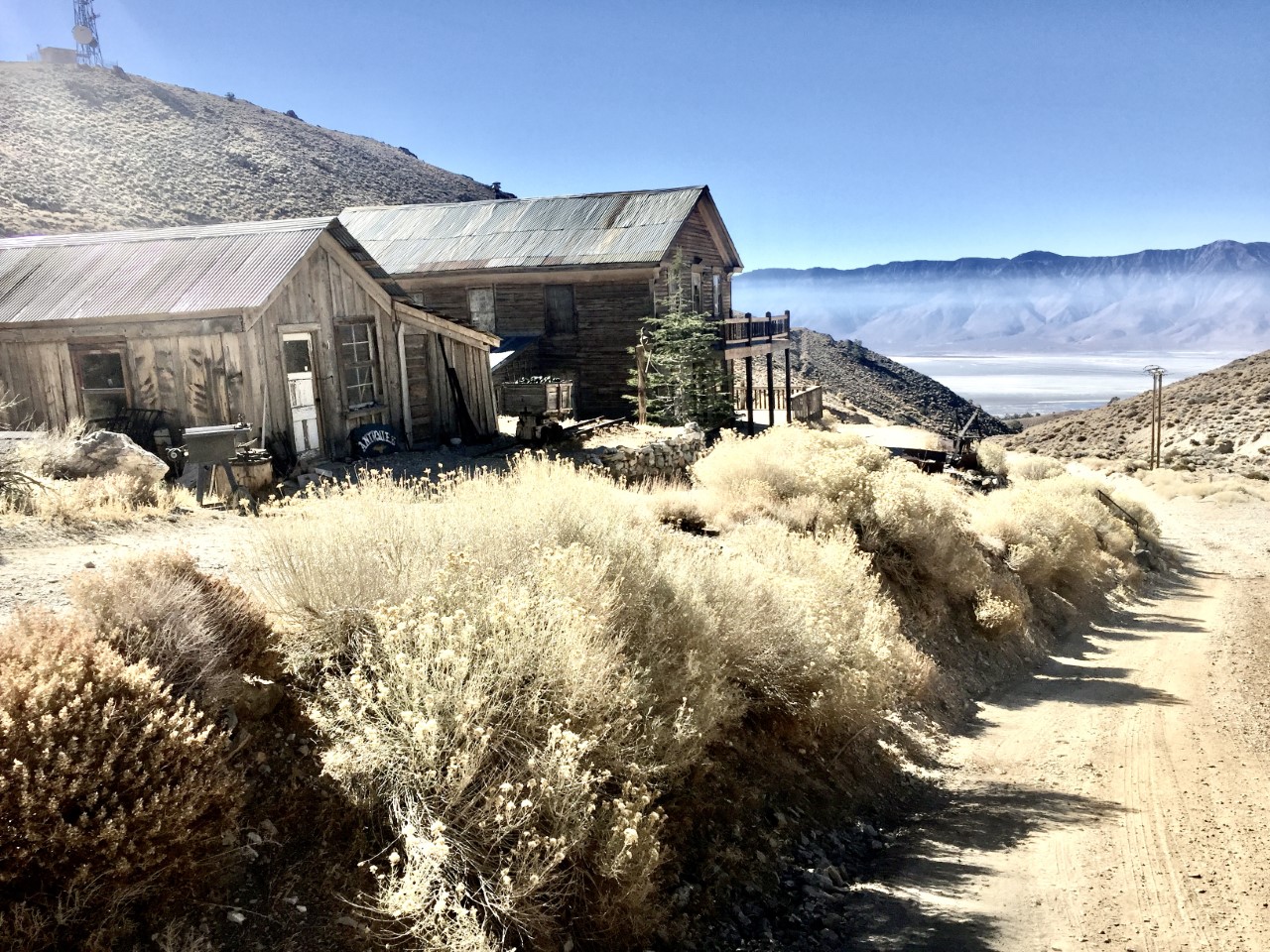


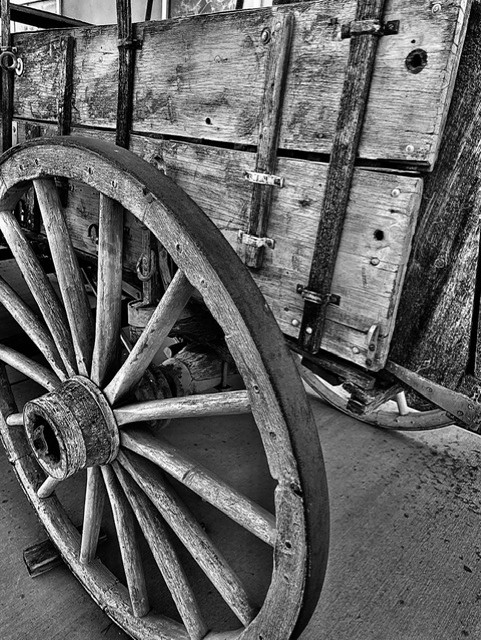
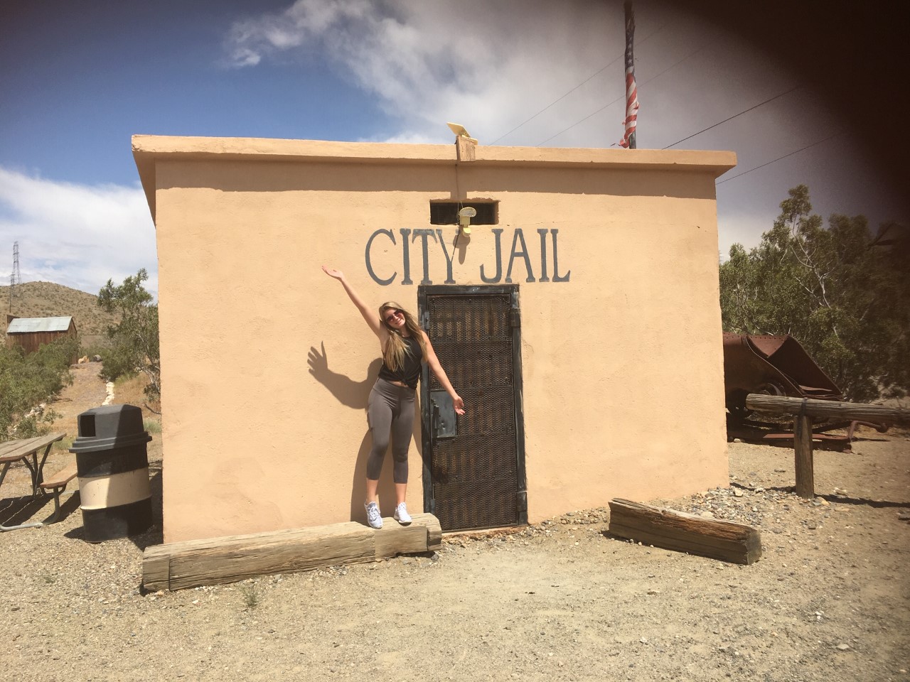
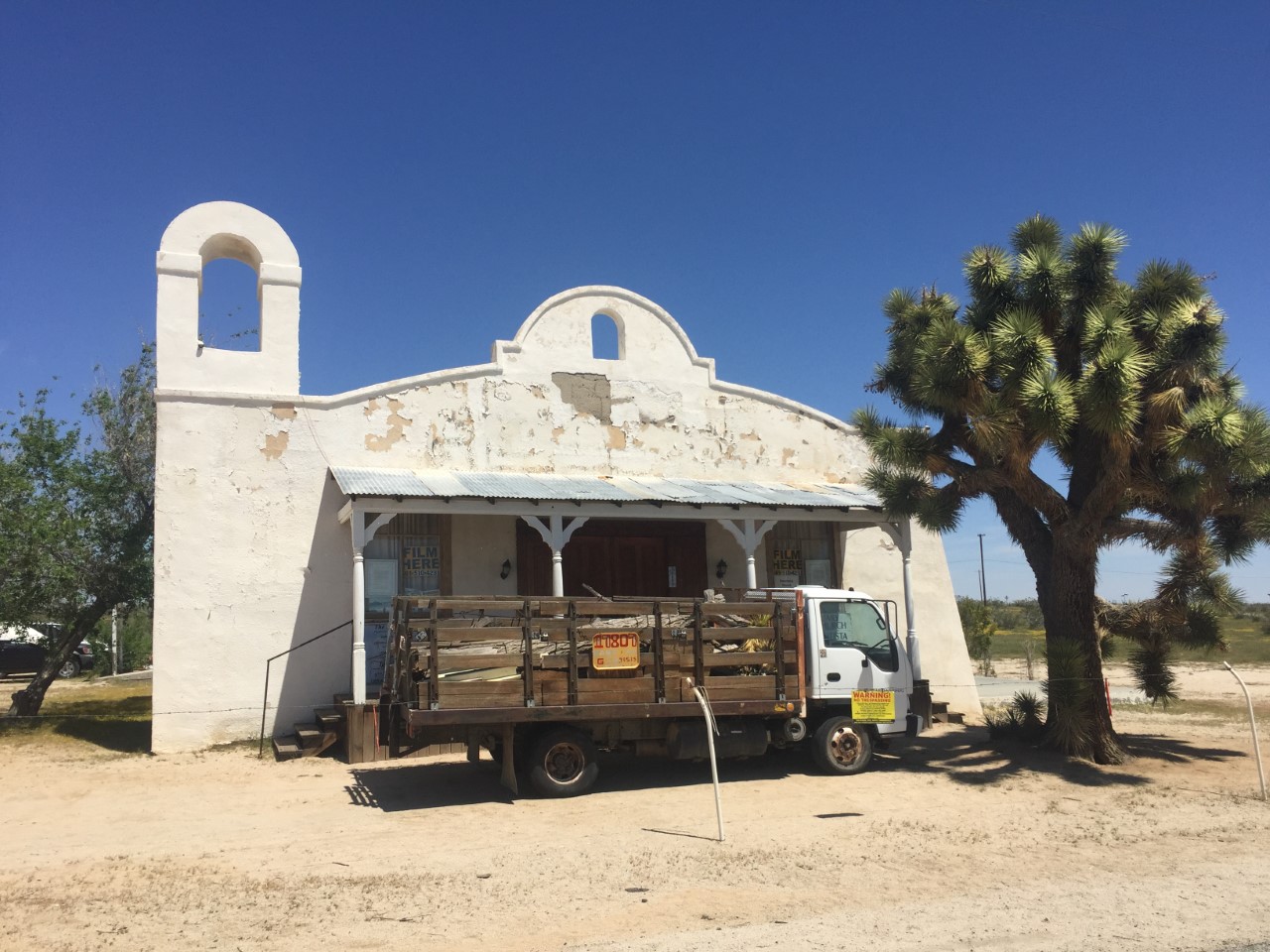
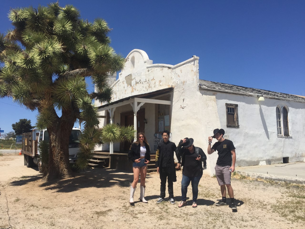
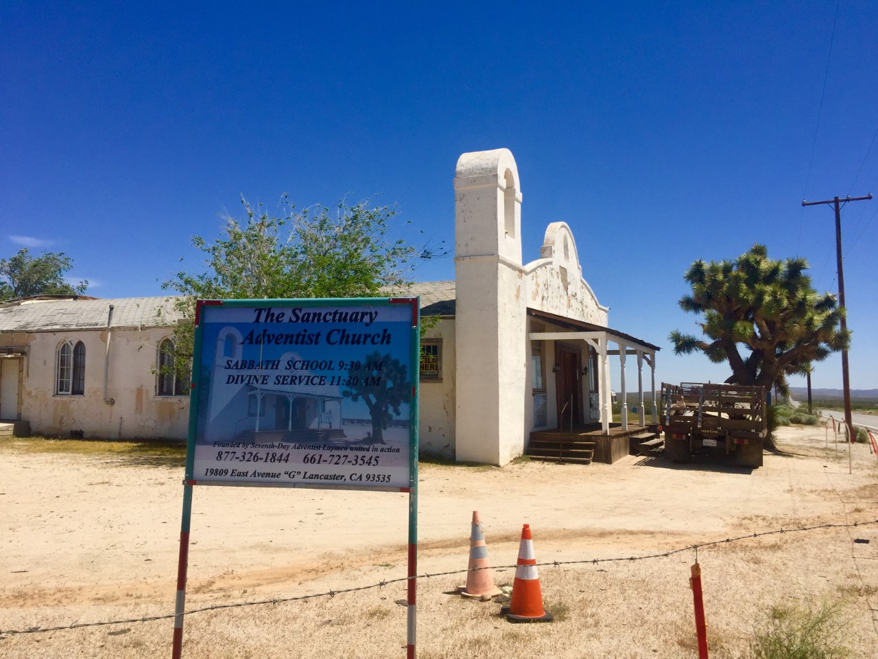
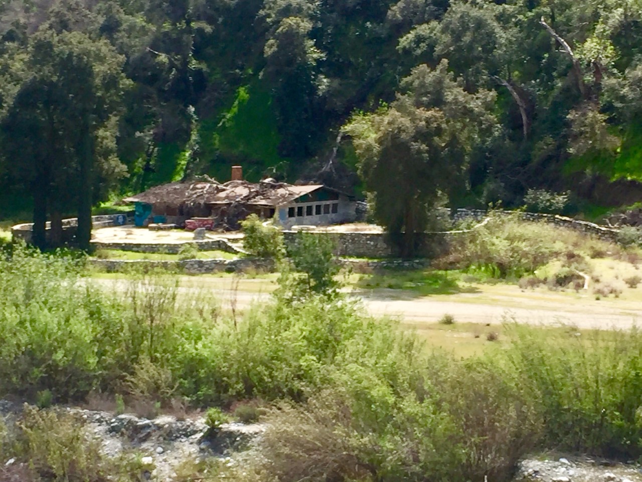
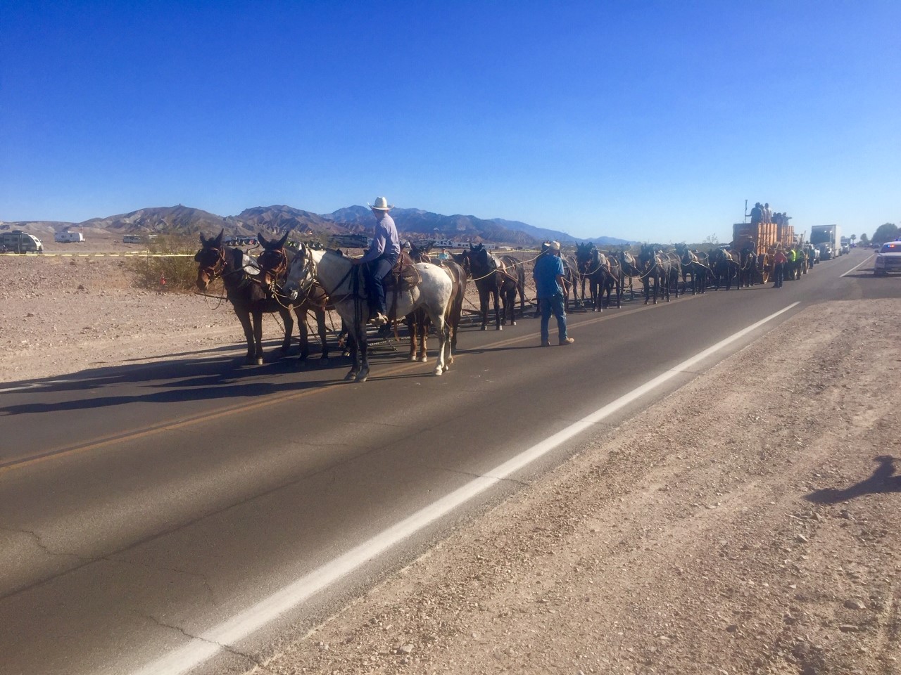
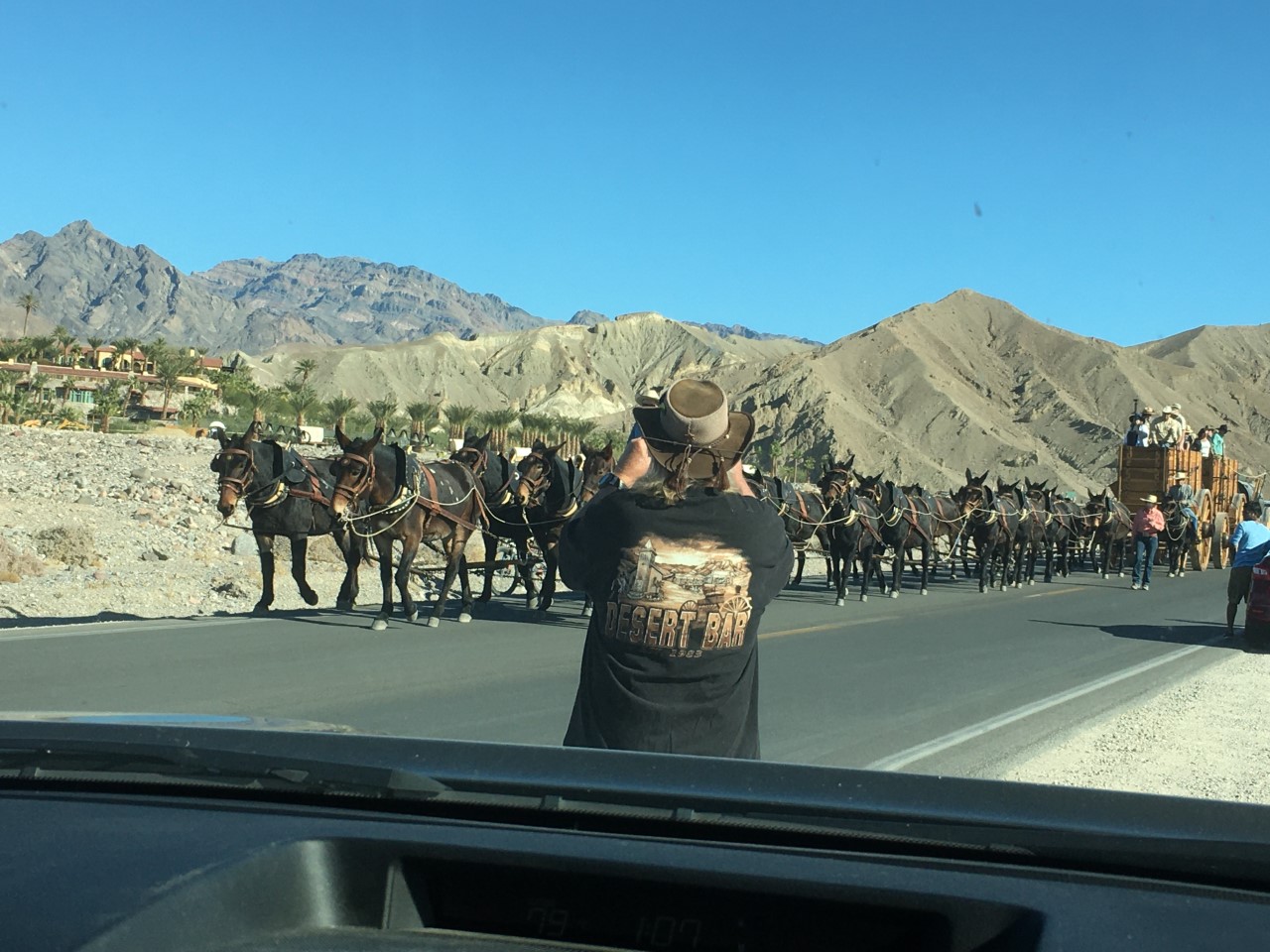
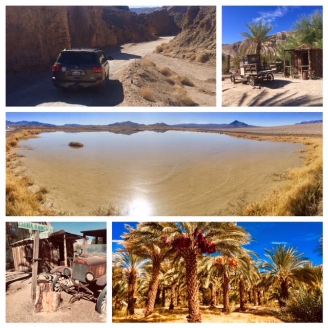
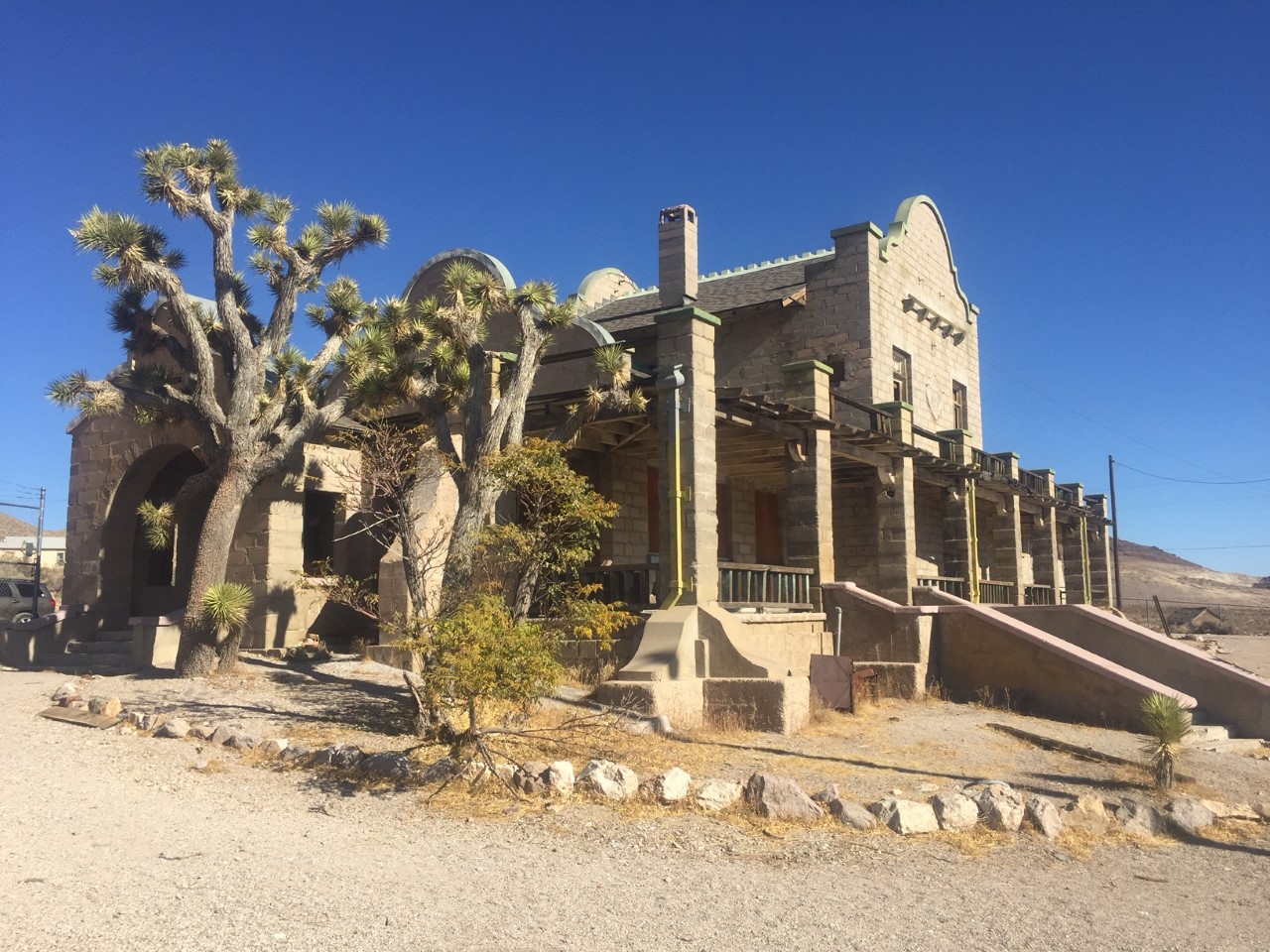
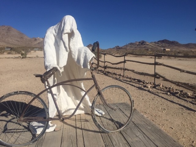
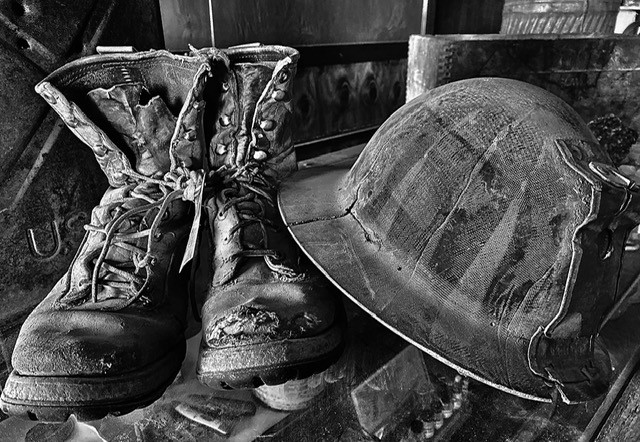 To raise money to rebuild this historical ghost town, the owner has been offering tours.