
I’ve heard of “the dips” and “the bumps,” both of which were wiped out by progress but which were beloved by young people. Some of you commented on them a few years back on this blog on an unrelated post.
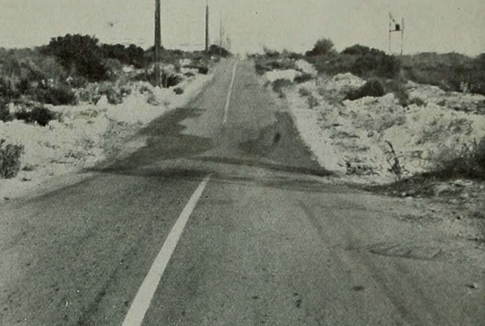
But then this photo popped up on Facebook’s “Growing Up in Upland” page, courtesy of Darin Kuna. It dates to 1939 and shows 19th Street between Upland and Alta Loma, looking east. Notice the dip?
Reader Rich P. explained the lay of the land in a comment on this blog back in 2008:
“The 19th Street bumps were on the Cucamonga Creek wash, between the flood control channel just west of Sapphire and Campus. They were wiped out by the Colonies project. They were dangerous, because some people would drive slower in case some nut was making a blind pass in the other direction, and the nuts would pass these slower drivers. My daughter loved the bumps at normal (not airborne) speed.”
Then there were “the bumps,” located on Base Line Road/16th Street between Claremont and Upland. Reader Tad Decker explained what those were:
“At the time, this was a long stretch of two-lane highway through barren, rocky scrubland. The road basically followed the natural topographic contours of the area, and thus was very hilly. If you traveled the road at a high rate of speed, you could be airborne for a second or two. This was great fun for me as a child with my dad driving, but the bumps were smoothed out by the time I was behind the wheel myself.”
Want to share a memory about the dips or the bumps? Leave a comment.
